Health & Beauty
Home & Garden
Electronics
Food & Beverages
Apparel & Accessories
Animals & Pet Supplies
Sporting Goods
Toys & Games
Baby & Toddler
< Back
Health & Beauty
Fitness & Nutrition
Skin Care
Hair Care
Shampoo & Conditioner
Oral Care
< Back
Fitness & Nutrition
Vitamins & Supplements
Tube Feeding Supplements
Nutritional Food Purees
Nutrition Gels & Chews
Nutrition Drinks & Shakes
< Back
Skin Care
Wart Removers
Sunscreen
Skin Insect Repellent
Skin Care Masks & Peels
Petroleum Jelly
< Back
Hair Care
Hair Styling Products
Hair Steamers & Heat Caps
Hair Shears
Hair Permanents & Straighteners
Hair Loss Treatments
< Back
Shampoo & Conditioner
Shampoo & Conditioner Sets
Shampoo
Conditioners
< Back
Oral Care
Toothpicks
Toothpaste Squeezers & Dispensers
Toothpaste
Toothbrushes
Tongue Scrapers
< Back
Home & Garden
Kitchen Appliances
Decor
Kitchen Tools & Utensils
Cookware
Pest Control
< Back
Kitchen Appliances
Yogurt Makers
Wine Fridges
Water Filters
Vacuum Sealers
Tea Makers
< Back
Decor
Wreaths & Garlands
World Globes
Window Magnets
Wind Wheels & Spinners
Wind Chimes
< Back
Kitchen Tools & Utensils
Whisks
Tongs
Tea Strainers
Sushi Mats
Sugar Dispensers
< Back
Cookware
Woks
Tagines & Clay Cooking Pots
Stovetop Kettles
Stock Pots
Skillets & Frying Pans
< Back
Pest Control
Pesticides
Pest Control Traps
Fly Swatters
< Back
Electronics
Computers
Home Video
Print, Copy, Scan & Fax
Audio Players & Recorders
Networking
< Back
Computers
Touch Table Computers
Tablet Computers
Smart Glasses
Laptops
Desktop Computers
< Back
Home Video
Home Theater Accessories
LED & LCD TVs
QLED TVs
OLED TVs
Smart TVs
< Back
Print, Copy, Scan & Fax
Scanner Accessories
Printers, Copiers & Fax Machines
3D Printers
3D Printer Accessories
< Back
Audio Players & Recorders
Voice Recorders
Turntables & Record Players
Stereo Systems
Radios
Multitrack Recorders
< Back
Networking
Repeaters & Transceivers
Print Servers
Power Over Ethernet Adapters
Network Security & Firewall Devices
Network Cards & Adapters
< Back
Food & Beverages
Beverages
Cooking & Baking Ingredients
Fresh & Frozen Vegetables
Snack Foods
Condiments & Sauces
< Back
Beverages
Vinegar Drinks
Tea & Infusions
Sports & Energy Drinks
Soda
Powdered Beverage Mixes
< Back
Cooking & Baking Ingredients
Yeast
Waffle & Pancake Mixes
Vinegar
Unflavored Gelatin
Tomato Paste
< Back
Fresh & Frozen Vegetables
Yuca Root
Yams
Wheatgrass
Watercress
Water Chestnuts
< Back
Snack Foods
Trail & Snack Mixes
Sticky Rice Cakes
Snack Cakes
Sesame Sticks
Salad Toppings
< Back
Condiments & Sauces
Worcestershire Sauce
White & Cream Sauces
Tartar Sauce
Tahini
Syrup
< Back
Apparel & Accessories
Jewelry
Clothing Accessories
Traditional & Ceremonial Clothing
Underwear & Socks
Clothing
< Back
Jewelry
Watches
Rings
Necklaces
Jewelry Sets
Earrings
< Back
Clothing Accessories
Wristbands
Tie Clips
Suspenders
Sunglasses
Pinback Buttons
< Back
Traditional & Ceremonial Clothing
Yukata
Traditional Leather Pants
Saris & Lehengas
Japanese Black Formal Wear
Hakama Trousers
< Back
Underwear & Socks
Underwear Slips
Underwear
Undershirts
Socks
Shapewear
< Back
Clothing
Swimwear
Skorts
Shorts
Shirts & Tops
Pants
< Back
Animals & Pet Supplies
Cat Food
Pet Supplies
Dog Food
Cat Supplies
Fish Supplies
< Back
Cat Food
Prescription Cat Food
Non-prescription Cat Food
< Back
Pet Supplies
Vehicle Pet Barriers
Pet Waste Disposal Systems & Tools
Pet Waste Bags
Pet Waste Bag Dispensers & Holders
Pet Vitamins & Supplements
< Back
Dog Food
Prescription Dog Food
Non-prescription Dog Food
< Back
Cat Supplies
Cat Treats
Cat Toys
Cat Litter Boxes
Cat Litter Box Mats
Cat Litter Box Liners
< Back
Fish Supplies
Fish Food
Fish Feeders
Aquatic Plant Fertilizers
Aquariums
Aquarium Water Treatments
< Back
Sporting Goods
Bicycle Accessories
Golf
Camping & Hiking
Gymnastics
Exercise & Fitness
< Back
Bicycle Accessories
Electric Bicycle Conversion Kits
Bicycle Water Sport Board Racks
Bicycle Transport Bags & Cases
Bicycle Training Wheels
Bicycle Trailers
< Back
Golf
Golf Training Aids
Golf Towels
Golf Tees
Golf Gloves
Golf Flags
< Back
Camping & Hiking
Windbreaks
Tents
Sleeping Pads
Sleeping Bags
Sleeping Bag Liners
< Back
Gymnastics
Vaulting Horses
Gymnastics Rings
Gymnastics Bars & Balance Beams
< Back
Exercise & Fitness
Weighted Clothing
Suspension Trainers
Stopwatches
Sport Safety Lights & Reflectors
Speed & Resistance Parachutes
< Back
Toys & Games
Dolls, Playsets & Toy Figures
Educational Toys
Games
Outdoor Play Equipment
Riding Toys
< Back
Dolls, Playsets & Toy Figures
Toy Playsets
Stuffed Animals
Puppets & Marionettes
Action Figures
Paper & Magnetic Dolls
< Back
Educational Toys
Toy Abacuses
Science & Exploration Sets
Reading Toys
Educational Flash Cards
Bug Collecting Kits
< Back
Games
Tile Games
Slot Machines
Roulette Wheels & Sets
Portable Electronic Games
Poker Chips & Sets
< Back
Outdoor Play Equipment
Trampolines
Trampoline Accessories
Swing Sets & Playsets
Swing Set & Playset Accessories
Stilts
< Back
Riding Toys
Wagons
Rocking & Spring Riding Toys
Push & Pedal Riding Vehicles
Hobby Horses
Electric Riding Vehicles
< Back
Baby & Toddler
Baby & Toddler Food
Diapers
Baby Transport
Nursing & Feeding
Baby Safety
< Back
Baby & Toddler Food
Toddler Nutrition Drinks & Shakes
Baby Snacks
Baby Formula
Baby Food
Baby Drinks
< Back
Diapers
Diaper Wet Bags
Diaper Rash Treatments
Diaper Pails
Diaper Pail Accessories
Diaper Organizers
< Back
Baby Transport
Baby Strollers
Baby Carriers
Baby & Toddler Car Seats
< Back
Nursing & Feeding
Sippy Cups
Nursing Pillows
Nursing Pillow Covers
Nursing Pads & Shields
Nursing Covers
< Back
Baby Safety
Baby Safety Rails
Baby Safety Locks & Guards
Baby Safety Harnesses & Leashes
Baby Monitors
Baby & Pet Gate Accessories
Desertcart Logo
Get the app
Madagascar
Login
Cart
Health & Beauty
Home & Garden
Electronics
Food & Beverages
Apparel & Accessories
Animals & Pet Supplies
Sporting Goods
Toys & Games
Baby & Toddler
Back to top
Exclusive Map Deals and Offers
Your lifestyle upgrade starts here—shop our exclusive Map collections.
India Political (100 Nos) Outline map | Multipurpose map For School/College Assignments/Projects/ Practical
4.3
India
Store
Ar178,380
India & World Map ( Both Political & Physical ) with Constitution of India Chart | LAMINATED | SET OF 5 | Useful for UPSC, SSC, IES and other competitive exams
4.6
India
Store
Ar122,980
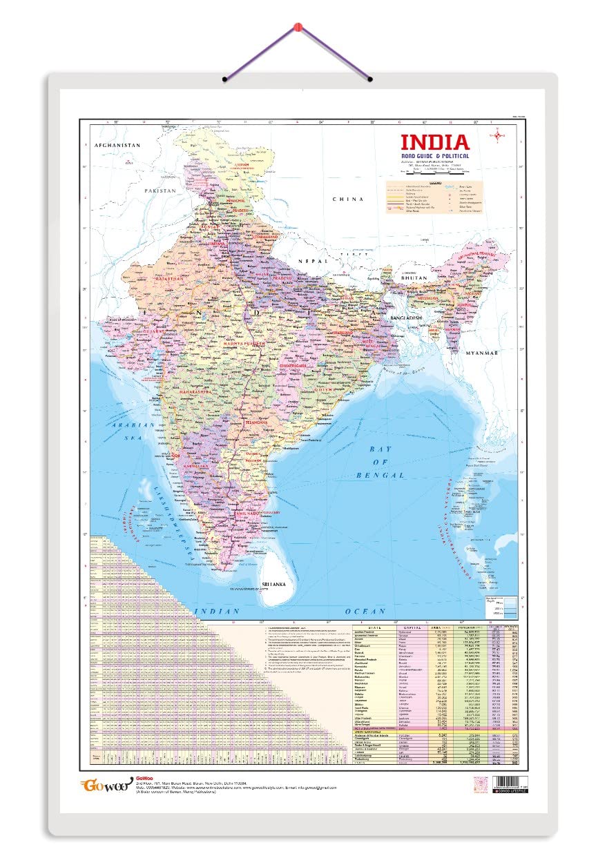
Indian Road Guide & Political Map Charts with Big font and Dust resistant Lamination | 300 GSM Recyclable Charts
4.5
India
Store
Ar163,580
Webby Amazing India Map Jigsaw Floor Puzzle 60 Pcs with 4 Double Sided Flashcards
4.5
India
Store
Ar87,380
India & World Map ( Both Political & Physical ) & Constitution Chart | NON LAMINATED PAPER FOLDED MAPS | SET OF 5 | Useful for UPSC, SSC, IES and other competitive exams
4.4
India
Store
Ar89,380
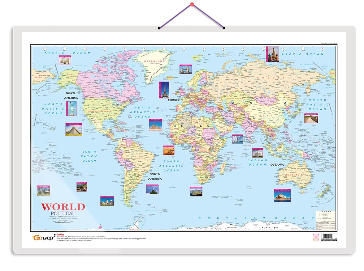
World Political Map Charts with Big font and Dust resistant Lamination | 300 GSM Recyclable Charts
3.9
India
Store
Ar168,180
India Political Map | 100x140 cm | Laminated | Extra Large Size | India Map
4.6
India
Store
Ar29,126
Brands
Mm
Go Woo
Webby
Vidya Chitr Prakashan